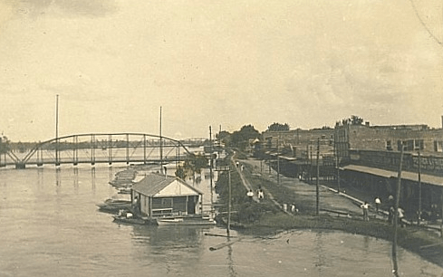
Alexandria is the ninth-largest city in the state of Louisiana and is the parish seat of Rapides Parish. It lies on the south bank of the Red River in almost the exact geographic center of the state. The present site of Alexandria was a natural one for settlement due to its location on the Red River. It lies on a level plain of Longleaf Pine forests at 55 feet above sea level, in almost the exact geographic center of Louisiana. The Red River was not navigable above Alexandria for many months each year due to the rapids. For practically half of the year (from July to January), Alexandria was at the head of navigation on Red River. Alexandria was platted to Alexander Fulton, who obtained it as a land grant from Spain in 1785. Fulton, a Pennsylvania trader, purchased additional land from the Choctaw, Tensas, Appalachee and Pascagoula tribes through his store. Fulton and another trader, William Miller, established a business across the Red River from the outpost, and were given exclusive rights with the Indians. They were authorized to extend credit, and when the Indians could not pay their bills with their exchange of furs, they signed over lands to cancel the debts. Fulton and Miller thus acquired thousands of acres that they then resold to settlers who were attracted to the rich lands along Bayou Rapides, Bayou Robert and Bayou Beouf in the Alexandria area. Fulton laid out the plan for Alexandria in 1805, and the settlement grew rapidly. Because of its strategic geographic location, which still holds true today, it became a center of transportation, trading and agriculture (History, 2019).
Citation
(2019). History of Alexandria, Louisiana. Retrieved from alexandria-louisiana.com.
